Sorry, you need to enable JavaScript to visit this website.
Skip to main content


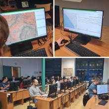
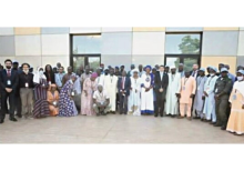
Workshop on Capacity Building for Geospatial Information Actors in Bamako, Mali - September 12-16, 2022

Submitted by michael.montani on
Following exchanges between the Geospatial Information Section of the United Nations and the Geographical Institute of Mali within the activities of the United Nations Committee of Experts on Global Geospatial Information Management (UN-GGIM), in Africa (UN-GGIM Africa) and of the Second Administrative Level Boundaries (SALB) programme, the offices agreed to organize a workshop for the development and capacity building for actors on geospatial information in Mali.

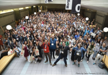
State of the Map in Florence, Italy - August 19-21, 2022

Submitted by michael.montani on
The State of The Map, the annual, global OpenStreetMap conference, held this year in Florence, was an opportunity to present the projects carried out in recent months and the results achieved so far, but it was also a time to meet the large community of mappers and to discuss and deepen with them topics such as the educational aspect. Let's take a look at a summary of what happened during those days!

Włodzimierz Bartczak - UN Mapper of the month - November 2022

Submitted by michael.montani on
Meet our mapper of the month for November. Włodzimierz Bartczak (Cristoffs in OSM) is a Polish mapper who actively participates in his country's OpenStreetMap community and has recently discovered UN Mappers. He is interested in tourism, cartography and new technologies.

Theresa Vieira - UN Mapper of the month - October 2022

Submitted by michael.montani on
Theresa Vieira, a retired project manager living in California, is the UN mapper of the month for October. Theresa, Tess2344 in OSM, has been contributing to UN Mappers' projects for over a year, making a valuable contribution in supporting peacekeeping missions. In mapping, she has found both a way to apply her technical skills and a way to support causes that matter to her.

Bartosz Racławski - UN Mapper of the month - September 2022

Submitted by michael.montani on
Bartosz Racławski, “ptarac” in OSM, is our Mapper of the Month of September. Bartosz is a Polish forester, a passionate naturalist and ornithologist who participates both in national and international Openstreetmap humanitarian projects. This month, we honor him not only for the quantity of his contribution, but also for the high quality of them. Bartosz is furthermore an active participant in our Discord server!

Arne Kimmig - UN Mapper of the month - August 2022

Submitted by michael.montani on
Arne Kimmig, AwoowoArne in OSM, is our Mapper of the Month of August. Arne is a German retired mathematician who enjoys volunteering in archeological and humanitarian projects. From the very beginning he made a great contribution to our projects in Somalia, being one of our first contributors and one of the most active mappers in the country.

Yunita Sari - UN Mapper of the month - July 2022

Submitted by michael.montani on
The UN Mapper of the Month of July takes us to Indonesia! Yunita Sari from Jakarta is an experienced mapper who firmly believes in the usefulness of open data for disaster response. Yunita recently joined the UN Mappers effort in Libya, doing a fantastic job mapping buildings. Let's get to know her!

Yacouba Diarra - UN Mapper of the month - June 2022

Submitted by michael.montani on
Yacouba Diarra, a young geographer from Mali, is the mapper of the month for June. Yacouba is an excellent trainer, committed to the mission of making OSM and its tools known in his community. He has participated in our courses and was the best mapper during the buildings mapathon in Tripoli, conducted together with OSM Libya.

United Nations for Libya mapathon

Submitted by michael.montani on
Map with us! UN Mappers and OSM Libya are pleased to invite you to the "United Nations for Libya" mapathon to be held from 20 to 22 May. The aim of the mapathon is to create open geodata regarding buildings in the city of Tripoli, supporting UNSMIL to ensure peace in Libya. The data will be used to deliver a 3D digital replica of the city of Tripoli to allow peacekeepers to remotely visualize and analyze inaccessible locations on the ground, experience different kind of scenarios beforehand, and perform operational planning around a shared simulated sandbox.