UN Mappers Photo | Nathalie Sidibé (OSM Mali)
The crowdsourcing community of UN Maps - UN Mappers - is a passionate collective of mapping enthusiasts dedicated to collecting, validating, and disseminating open geospatial data in areas where the United Nations carries out field operations. Our mission is clear: to support decision-making processes with more accurate, location-based data that empowers peacekeeping and humanitarian actors on the ground.
Our data provides peacekeepers and humanitarian workers with the essential tools they need, including better topographic maps, operational geo-information, and advanced search and navigation tools. And being open geospatial information, this data is available to anybody to use, from local geospatial developers to all the citizens.
Here's the best part - UN Mappers is open to everyone. Whether you're a seasoned mapping expert or a newcomer eager to contribute by mapping, we welcome you in our community. By joining, you are not just contributing to open mapping; you are actively supporting peace, development and sustainability efforts around the world. Together, let's harness the power of open mapping to create positive change and make a lasting impact on global peace and security. Become a UN Mapper today and be part of our community!
How to participate

Educational Opportunities
The UN Mappers team is committed to fostering a culture of learning and knowledge-sharing within our community. Through a variety of educational opportunities, we empower individuals to develop their skills and expertise in open geospatial information, equipping them to contribute meaningfully to our collective mission.
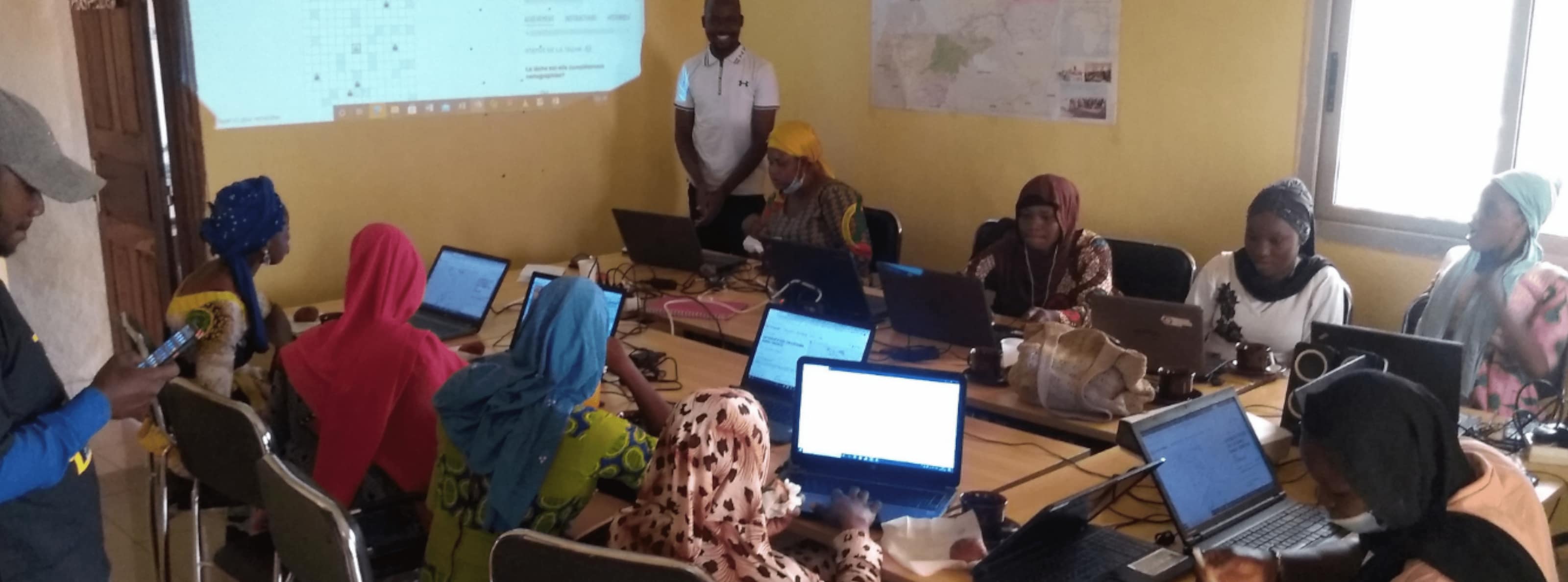
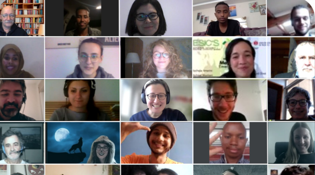
Educational opportunities comprise of training sessions hosted on site or online about OpenStreetMap editing, validation and data dissemination.
UN Mappers also maintains the UN Maps Learning Hub, a all-in-one solution to learn OpenStreetMap editing, usage of open-source GIS software via courses provided by the UN Open GIS Initiative and courses on how to get started with the UN Maps applications.
Furthermore, UN Mappers host an internship programme every 6 months. During the internship period, young GIS and social media communication professionals can enter a multicultural working team, participating to work activities either remotely or at one of our duty stations in Brindisi or Valencia.

Collaborative Mapping
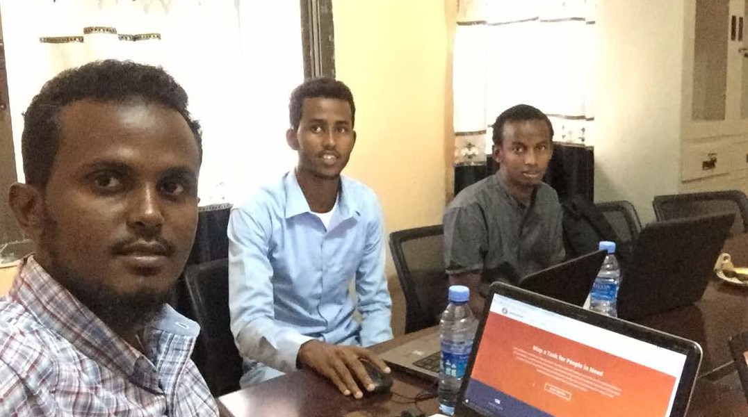
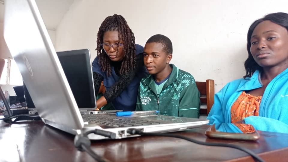
The UN Mappers community, after receiving adequate educational opportunities to map high quality data, can dedicate their time to contribute to the collaborative projects made available by the UN Maps Programme.
Through the UN Maps Programme, UN Peacekeeping missions as well as UN Agencies, Funds and Programmes can leverage open geospatial information and collaborative mapping to support their activities on the field and extract valuable insights from the edited and validated geospatial data.
For natural disasters and emergencies, the UN Mappers community is called to action to provide prompt response to relief and rescue support.
All the edited data is on OpenStreetMap, a free and open map of the world, so it is available to anyone to contribute and use. We recognize our exceptional mappers through the Mapper of the Month award.

Community Engagement
Another way in which you can be part of the thriving UN Mappers community is to champion for the community, for example, by promoting our educational and mapping activities to a wider audience, to your mapping friends and communities, if you wish.
All the activities of UN Mappers are advertised on social media and by following our handles, you will not miss an opportunity to collaborate with us!
We are always open to activities proposed by volunteers, and to organize big events to edit open geospatial information and advance peace, development and sustainability through collaborative mapping.
Where are our volunteers located?
UN Mappers at a Glance

Over 5600 UN Mappers volunteers from around the world.

More than 7000 participants to over 300 mapping events or mapathons since 2020.

