| UN Photo | Atelier for Geographic Information in Mali
Categories of events

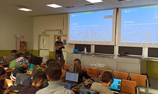
Mapathons: Collaborative Mapping Events
Mapathons are dynamic events where mappers of all skill levels come together to contribute to mapping projects. Typically, they follow this structure:
Introduction to the mapping initiative and objectives: Participants are briefed on the project's goals, the importance of the mapping effort, and the intended impact, aligning everyone’s efforts.
Brief explanation on how to map: A training session covers the basics for beginners and advanced techniques for experienced mappers, ensuring all participants are equipped to contribute effectively.
Editing activity with fellow contributors like you! : Participants engage in collaborative mapping, working alongside other volunteers. This interactive segment fosters a sense of community, with real-time feedback and support available from experienced mappers or organizers.
Mapathons are productive, educational, and socially engaging, allowing volunteers to learn new skills, connect with others, and make valuable contributions to important projects.

Training Sessions: Enhancing Mapping Skills
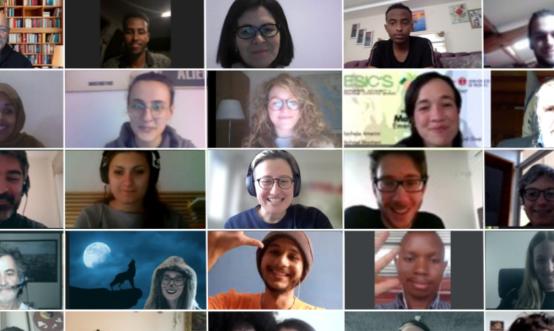
Training sessions are designed to boost mapping skills in areas like usage of UN Maps features, topographic mapping and data validation. Available online or on-site, some sessions are open to all, while UN Maps features training is exclusive to UN staff. Typically, these sessions follow this structure:
Introduction to the session and objectives: Overview of the training topic, goals, and its importance.
In-depth training modules: Detailed tutorials and hands-on practice covering specialized tools for in-house mapping activities or open geospatial data editing.
Interactive practice and support: Practical exercises with real-time feedback and peer collaboration. Follow-up exercises are offered and continuous validation and feedback to trainees is given.
These sessions provide practical, engaging training to enhance the mapping capabilities of the participants.

Mapping Campaigns: On-Site Community Engagement
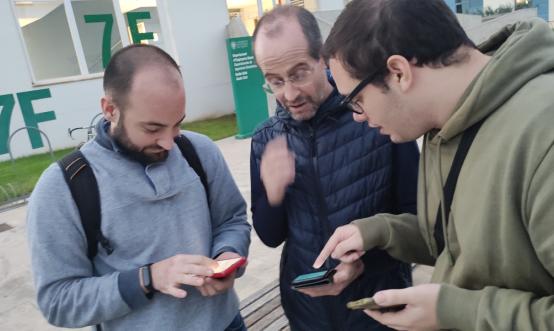
Mapping campaigns are collaborative efforts where local community members in our project areas can participate in on-site mapping activities. If you reside in one of the countries covered by our initiatives, join us in identifying and mapping points of interest in your area. Our campaigns typically include the following elements:
Community engagement and coordination: Local residents are invited to participate in mapping activities, fostering community involvement and ownership of the mapping process.
On-site data collection: Participants gather data on the ground, identifying and mapping important local features and points of interest. This hands-on approach ensures accurate and up-to-date information.
Safety and security considerations: All activities prioritize the safety and security of participants. Potential risks are assessed, and necessary precautions are taken to ensure a safe mapping environment.
These campaigns enable communities to contribute directly to mapping efforts, ensuring local knowledge is accurately represented and enhancing the quality of our mapping projects.
Do you want to propose one?
Collaborative events aimed at knowledge sharing and capacity building are fundamental to produce high quality open data, as well as to enhance your skills and to have ready feedback on your mapping activity from expert mappers.
If you are already an OpenStreetMap contributor and you are in touch with a mapping community, you can join UN Mappers with your friends. All you need to do is to join our community in Discord, subscribe to the UN Mappers Newsletter, and/or to follow our social media channels to stay up to date on our upcoming mapping initiatives.
If you feel inspired, you can propose an event with your mapping group in collaboration with UN Mappers. In this case, just let us know through our social media or fill our contact form. Remember to take pictures to commemorate the event!
The UN Maps Team offers training opportunities on any UN Maps and OpenStreetMap editing topic. We build and deliver trainings either online or on site, typically in universities and high schools. Currently, we are offering trainings in English, French, Spanish, Portuguese and Italian, but you can find a wider range of supported languages and material on the UN Maps Learning Hub.
Upcoming Events

OpenStreetMap Beginner Training using iD editor and JOSM
Schedule:
- 20 Jan 2026, Tuesday: Beginner iD editor Training
- 23 Jan 2026, Friday: Beginner JOSM Training
Time: 12:00 UTC | 13:00 CET | 18:00 SG

