

Mission

The mission of UN Maps is to harness the power of open geospatial data to support UN peacebuilding and humanitarian efforts. This means providing precise, up-to-date maps, geospatial services and geographic information to UN Peacekeeping Missions, UN Agencies, Funds and Programmes, humanitarian actors, and other stakeholders operating in conflict-affected areas. By improving situational awareness, UN Maps helps enhance peacebuilding, humanitarian response, and disaster management efforts.
UN Maps is a key component of the UN's geospatial strategy, which aims to "leverage geospatial technologies to support the implementation of the 2030 Agenda for Sustainable Development." By providing accurate and timely geospatial information, UN Maps supports in achieving the UN's goals of peace, security, development, and human rights.
Vision
UN Maps aims to be the foundational geospatial solution across the UN system.
UN Maps enriches topographic and operational data in areas where the United Nations operates. This includes creating and maintaining high-quality maps of roads, buildings, infrastructure, and other features that are essential for peacekeeping and humanitarian operations.
UN Maps provides peacebuilding and humanitarian actors with topographic maps, operational geo-information, search and navigation tools, and imagery and satellite data. This information aids in planning and coordinating activities, assessing needs, and responding to emergencies.
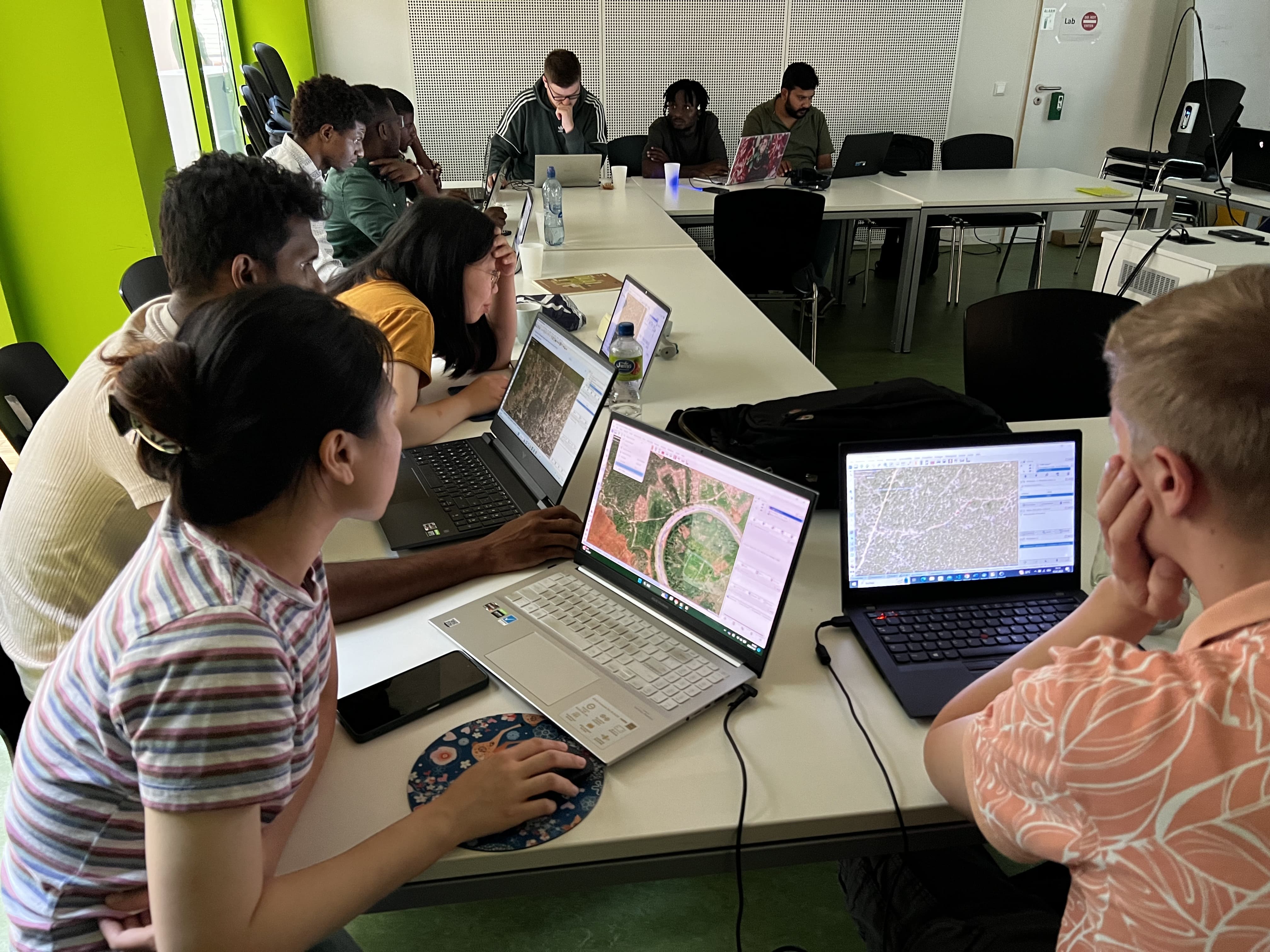
Through UN Mappers, UN Maps fosters a community of mappers and users who contribute to and benefit from UN Maps data. This involves training and capacity building for UN staff and civilians, promoting the use of open geospatial data standards, and sharing knowledge and best practices.
Benefits

Global coverage
UN Maps has a global coverage, providing high-quality topographic and operational data for all countries of the world. The data is available at various scales, from 1:1 million to 1:250,000, and is updated regularly to reflect changes on the ground.

Authoritative Boundaries
UN Maps supplies accurate and up-to-date information on national and subnational borders, as well as accurate and detailed coastline data, including islands and harbors.

Operational Ready
UN Maps produces comprehensive road network data, including highways, secondary roads and rural roads, and railway network data.

Collaborative
UN Maps utilizes crowdsourcing to gather geospatial data through UN Mappers, a global community of contributors. This data is then verified and refined by UN experts, ensuring accuracy and consistency. The contributions from volunteers empower UN peacekeeping missions, humanitarian organizations, and other stakeholders with up-to-date maps and geospatial information.

Customizable
UN Maps offer four base maps. The Clear Map is suitable for general use. It shows major roads, railroads, waterways, international boundaries, and populated places. Land cover map shows the different types of land cover, such as forests, grasslands, deserts, and urban areas. Topographic map shows elevation.
UN Maps At A Glance

5 Peacekeeping missions supported

450 mapping trainings or mapathons

6,400 UN Mappers contributors

430,000 kilometers of roads mapped

200,000 kilometers of waterways mapped