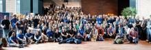
A look back at the UN Maps training activities
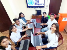
The UN Maps project (initially called Unite Maps) was born in 2019, and the following year included training activities aimed at educating or empowering OSM communities to subsequently support the project in its mapping activities in support of partner peacekeeping missions. Over these four years, the UN Maps crowdsourcing team has organized nearly 40 workshops for about 1,200 people from a wide range of groups and communities, in five different languages: English, Spanish, French, Italian, and Portuguese.