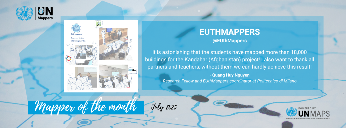
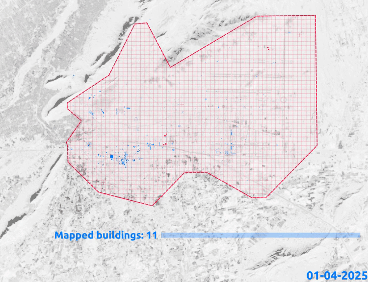
Our Mapper of the Month for July 2025 is the EUthMappers! From April to June 2025, UN Mappers collaborated with EUthMappers to bring open mapping in secondary schools in Europe . EUthMappers trained 162 highschool students from five (5) countries about open data and OpenStreetMap. As seen in the animation below, student mappers contributed to adding a total 18,240 buildings in the city of Kandahar, Afghanistan and completed 63% of the mapping project, ready to be validated. The web application visualization is also accessible through the link: EUthMappers in Action .
We asked Quang Huy Nguyen, Research Fellow and EUthMappers coordinator at Politecnico di Milano, about EUthMappers and their experience teaching students to map in support of UN peacekeeping efforts.
Tell us a bit about EUthMappers.
EUthMappers is a project that aims to improve STEM education (science, technology, engineering and maths) and encourage young people to get involved in civic awareness by introducing open and collaborative mapping in secondary schools across the EU. In this phase, five schools in Italy, Portugal, Romania, Spain, Slovakia have been involved in the project.
How did you know about UN Mappers and how was the collaboration with UN Mappers?
In 2022, I had the opportunity to intern with UN Mappers. Coincidentally, I am collaborating with UN Mappers once again within the EUthMappers project during my fellowship at Politecnico di Milano (Polimi). I would say it must be destiny.
How did you monitor progress of the project and continuous engagement with the students? What activities did you organize?
At first we (Polimi) organized two workshops about UN Mappers, Humanitarian Mapping and Sustainable Development Goals. I have to admit that it seems difficult to deliver these topics to secondary students. We overcame this problem by creating quizzes so as to interact with the students. Following, in order to prepare the student before the actual humanitarian mapping project, we have made several training sessions on OSM sandbox server. There have been many “inventions” made during these training sessions, including one Tasking Manager made for EUthMappers projects, one iD editor modified to adapt also with mobile phone interface, and a number of web maps visualized the data contributed by the students. Finally, students are ready to participate in the actual humanitarian mapping project organized by UN Mappers. Each week, one report of the contribution was produced to track this process.
Any key updates you would like to share? Are there any learnings and/or challenges raised while mapping the projects? Please share.
One key thing to note is that it is necessary to be adaptive, flexible and open-minded to work with school students. I also want to underline the challenges that most of the mapping by students is made during their school schedule, plus the students’ backgrounds are diverse.
Can you share some testimonials from the students and/or organizing team about the mapping and/or the collaboration?
It is astonishing that the students have mapped more than 18,000 buildings for the Kandahar (Afghanistan) project! I also want to thank all partners and teachers, without them we can hardly achieve this result!
Would you like to collaborate with us?
We are always available to host new events and collaborate mapping efforts with the community! Feel free to contact us for collaboration proposals and invitations through social media or by email: un.mappers@un.org.
Become a UN Mapper!
You can contribute to our active mapping through the HOT Tasking Manager, and learn about open geospatial information in support of the United Nations through our UN Maps Learning Hub.