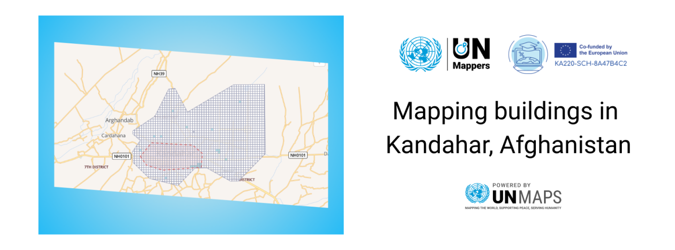
We have partnered with EUthmappers, a project funded by the Erasmus+ Programme of the European Union and supported by Politecnico di Milano, Italy, to advance the goal to enhance Science, Technology, Engineering, and Mathematics (STEM) knowledge in secondary schools in Europe by training teachers and students on collaborative geospatial information. For two (2) months, starting April 1st, EUthMappers will be supporting UN Mappers by mapping building footprints in the city of Kandahar, Afghanistan (private HOT Tasking Manager Project).
The buildings data generated in Afghanistan is part of the UNAMA peacekeeping efforts, and will be used as input for a 3D digital replica of the city. This will allow the creation of a Virtual Reality (VR) model to enable peacekeepers and personnel to have a remote visualization of the city, analyse inaccessible locations on the ground and simulate different scenarios beforehand to aid their operational planning.
We are also looking forward to further our partnership through upcoming events and activities.
Would you like to collaborate with us?
We are always available to host new events with the community! Feel free to contact us for collaboration proposals and invitations through social media or by email: un.mappers@un.org