We are excited to announce the release of the new UN Street Map. This version features a redesigned visual style aimed at improving readability, usability, and visual harmony across all platforms.
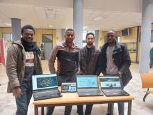
A group of students enrolled in the Erasmus Mundus Master’s program in Geospatial Technologies at the University of Jaume I (UJI) in Castellón de la Plana, Spain, as part of their final class exercises for the course “Spatial Data Services,Sources,Standards and Infrastructures” analysed campus safety and identified vulnerabilities mapping campus streetlights, utilizing open data and GIS software.