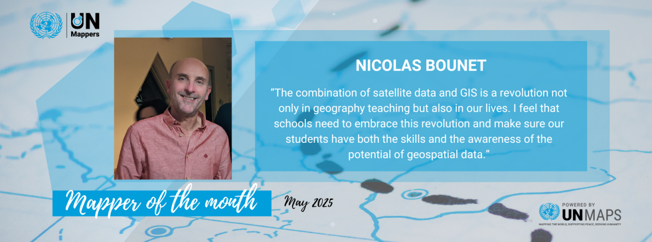
Our Mapper of the Month for May 2025 is Nicolas Bounet. Nicolas is a GIS enthusiast, and history and geography highschool teacher from France. Since 2023, he has collaborated with the UN Mappers Team to provide three-day online training sessions with the Theophile Gautier Highschool in Tarbes, France. The latest training was in March 2025 and participated by 30 students*, with the supervision of Nicolas. They mapped building footprints in Herat, Afghanistan which will be used as 3d remote visualization of the city to support UNAMA's peacekeeping and operational planning. In just one week, they were able to map more than 30% of the project. As of writing, the project is 100% mapped and ready for validation.
We asked Nicolas about his motivation and experience about collaborative mapping. Check our interview below:
Tell us a bit about yourself.
I teach history and geography in a state high school in southern France. After different postings in France (Toulouse, Marseille) and abroad (Italy, UK), I am back in France, on the foothill of the Pyrenees, teaching the French International baccalaureate. I have a keen interest in geography and although I have no specific training, I’m always on the lookout for more opportunities to include GIS in my teaching.
How did you know about UN Mappers?
I have a long experience of taking part in Model United Nations. During these conferences, students act as representants of UN Member States and discuss current affairs. I was interested in bringing these discussions a step further and give the students an opportunity to have an impact in the real world. I contacted UN Mappers via their website and the team did a great job setting up a mapathon for the students.
Why do you enjoy mapping / contributing to open data / educating people about open mapping? What are your motivations?
The combination of satellite data and GIS is a revolution not only in geography teaching but also in our lives. I feel that schools need to embrace this revolution and make sure our students have both the skills and the awareness of the potential of geospatial data. This is how I started to take an interest into collaborative mapping. It’s is a great way to get students to acquire mapping skills while learning about the missions of the United Nations. The great thing about collborative mapping is that students realise that computer science and humanitarian aid can go hand in hand. They also realise that processing geospatial data can offer them exciting careers and many job opportunities.
How was the recent UN Mappers Training with Lycée Theophile Gautier High school, Tarbes, France?
The UN Mappers team did a great job preparing our students. In just three sessions of one hour, they managed to present the work of UN Maps, teach them the basic skills for online mapping. They were then ready to map. The assignment was to map buildings in Afghanistan in order to help the UN relief effort out there. The students were impressed to see how easy it was to start mapping. They were very impressed by the 3D model of cities developed by UN Maps. We’ve been running these sessions for the past three years and we hope to keep it going!
When do you map? (Weekends, free time, in your working time?)
I map mainly during these lessons. I hope to find more opportunities to include online mapping in geography teaching. It’s a great way to get students engaged. Several of them go on and keep mapping on their own.
In which countries do you map the most? And/Or what feature do you like to map the most?
Last year we mapped roads, tracks and fords in Somalia. This required a fairly refined analysis of the natural environment as it changed dramatically between the dry and rain season.
*Important note on the Terms of Use when mapping with minors in OpenStreetMap: They must be 13 years old and up, and 13-16year olds will need to be accompanied by a parent of quardian. Check the Terms of Use: https://osmfoundation.org/wiki/Terms_of_Use
Would you like to collaborate with us?
We are happy to host mapping activities with the community! Feel free to contact us for collaboration proposals and invitations through social media or by email: un.mappers@un.org