
Written by Silvina Meritano
Introduction
Three months ago, I took on the challenge of representing UN Mappers as a community ambassador in Argentina. What began as an opportunity to promote the use of OpenStreetMap soon became an experience of learning, collaboration, and collective creation.
During this time, I had the chance to strengthen partnerships with organizations, groups, and educational institutions, support projects with a community impact, and contribute to the growth of the open mapping community in the country. I also witnessed the enormous potential of open geospatial data to support initiatives in urban development, humanitarian action, disaster prevention, and citizen participation.
This journey has been filled with encounters, new ideas, and challenges. In the following paragraphs, I’d like to share some of the activities we’ve carried out, the lessons we’ve learned, and the reasons why I believe that continuing to strengthen open mapping communities is an increasingly important task.
From the start, my main goal was to bring new groups and communities into UN Mappers and, more broadly, into the OpenStreetMap ecosystem. In Argentina, the world of open geospatial data is still little known outside of certain specialized circles. Furthermore, there were no previous experiences related to YouthMappers, and although the OpenStreetMap community includes highly committed and active individuals, its geographical distribution is uneven, with a strong concentration in certain regions of the country.
Given this situation, one of my priorities was to build bridges between stakeholders who do not typically participate in these spaces: civil society organizations, volunteer groups, local communities, students, and people interested in using open tools to understand and transform their territories. Rather than simply adding users, the challenge was to build a diverse community capable of recognizing the social value of open geospatial information and using it to address specific issues.
Thus, one of the first actions I took was to create opportunities to promote UN Mappers to the Spanish-speaking community through articles in specialized media outlets, social media posts, participation in conferences and events (such as FLISOL 2026), and the organization of an open virtual meeting via Google Meet.
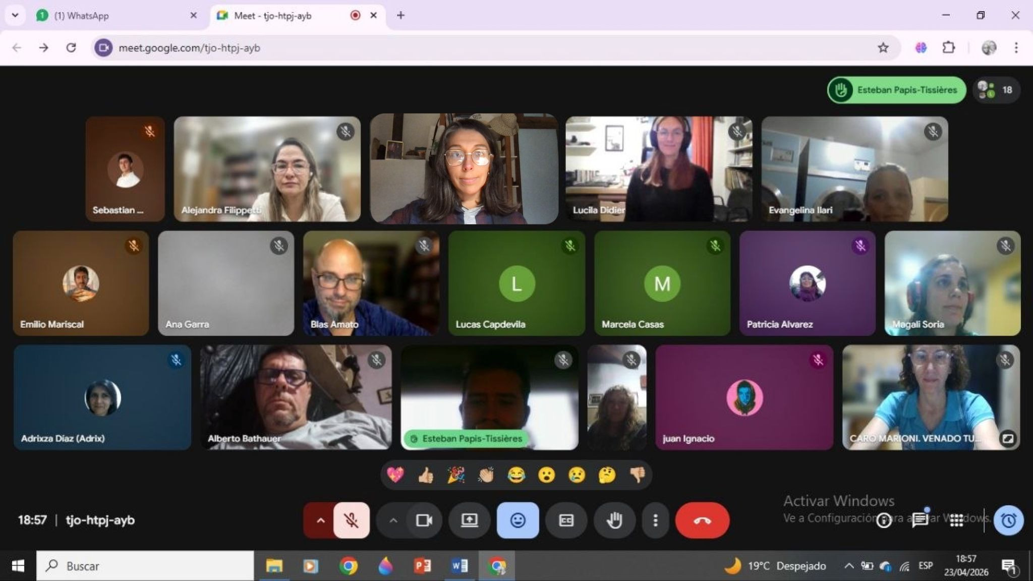
Screenshot of a UN Mappers livestream event - April 23, 2026
Initial Approach
During our initial contact with communities, water emergencies emerged as the primary concern. Argentina is preparing for an unusual weather event caused by the El Niño phenomenon, which will affect our region in different ways. Although these projections have not yet been definitively established, the Pampas region and the coastal areas of Argentina could be particularly affected.
Mapping tasks were organized and distributed across three provinces in Argentina (five had originally been planned, but due to time constraints, this was ultimately not possible): Neuquén, Santa Fe, and Córdoba. The initiatives were based on remote mapping tasks on OSM organized through the HOT Tasking Manager, and field mapping using tools such as Drone Tasking Manager (HOTOSM), ChatMap (HOTOSM), and SketchMap Tool (HeiGIT—Heidelberg Institute for Geoinformation Technology). Data analysis and visualization were carried out using the uMap instance of HOTOSM.
Activities
1. Flood Prevention in Granja de Funes (Córdoba)
On May 5, 2026, in collaboration with the Las Manos de mi Barrilito Community Kitchen, Choique, and volunteers from the Fundación Expedición Sonrisa, we conducted a survey in the Granja de Funes II neighborhood in the city of Córdoba with the participation of 24 people. There, together with volunteers and collaborators, we carried out two main tasks: remote mapping using the HOT Tasking Manager to map the neighborhood where the organization is located, and field mapping using ChatMap and SketchMap Tool to identify flood-prone areas.
This initial work allowed us to recognize the need to improve remote mapping for the city of Córdoba, which has a low percentage of digitized buildings, a need to improve the mapping of critical infrastructure related to events such as floods, and a lack of key roads (especially alleys and streets) in areas on the outskirts of the city center.
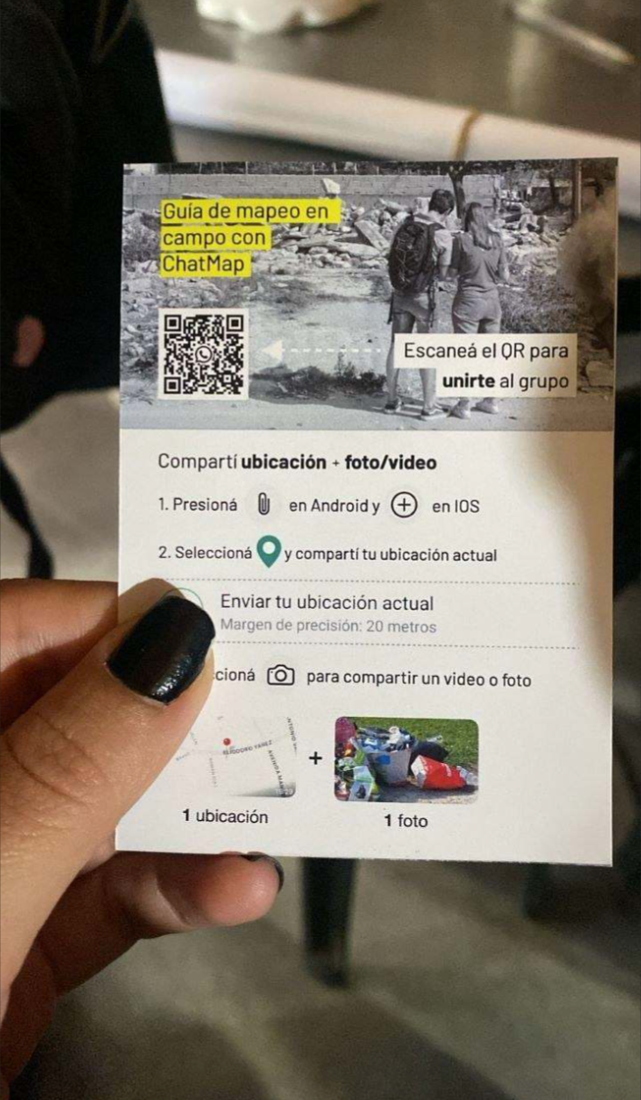
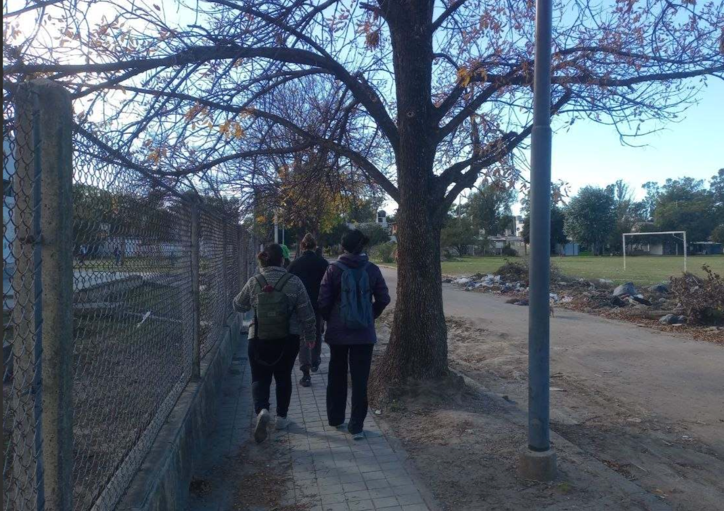
Photo taken during field mapping activity - 05/05/2026
In this regard, a post in Spanish about this event was published in this OSM blog entry: https://www.openstreetmap.org/user/Silvi715/diary/408695
2. Community Workshops in Partnership with the OpenStreetMap Humanitarian Team (HOTOSM) in Villa La Angostura (Neuquén)
From May 14 to 24, I helped coordinate a 10-day event in Villa La Angostura called MA.PA (Open Maps of Patagonia) alongside members of the OpenStreetMap Humanitarian Team. During this time, we combined remote mapping tasks using the HOT Tasking Manager (https://tasks.hotosm.org/projects/50925) with field mapping. We organized 11 workshops with various organizations, in which 215 people participated. We worked with local elementary and secondary schools, community organizations, Indigenous communities, software and worker cooperatives, mutual aid societies, the local municipality, firefighters, park rangers, and forest firefighting brigades.
We combined aerial image capture using drones, data collection using ChatMap, SketchMap Tool, and Geo Hackathon, and map use with uMap. Some of the results of this work can be found at the following link: https://portal.hotosm.org/en/plan/601643d2-fb31-4e0f-ba4d-f12a500fbeca
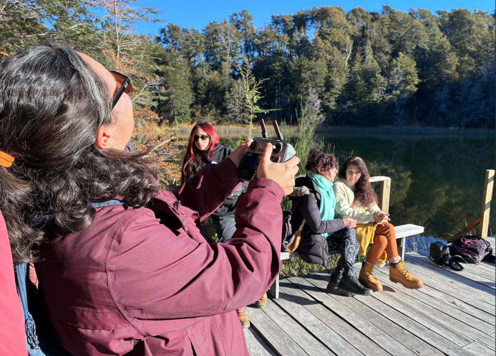
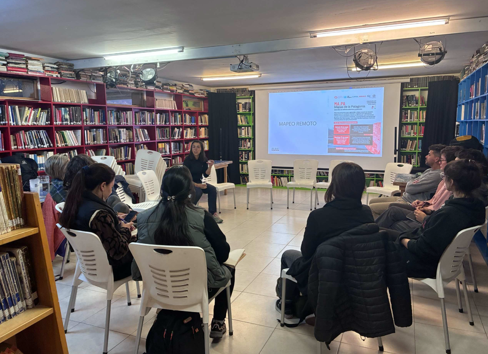
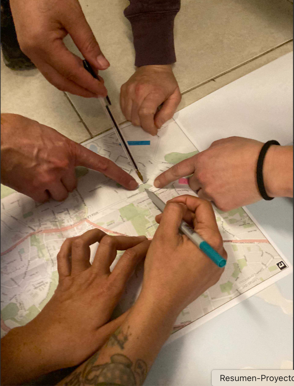
Photos taken during the MA.PA event in Villa La Angostura - 18/05/2026 and 19/05/2026
3. The Territory on the Map: Open-Source Tools for the Production and Use of Cartographic Data (Venado Tuerto, Santa Fe)
From May 28 to 30, 2026, a three-day mapping workshop was held in the city of Venado Tuerto in partnership with Asociación Civil Maná, Cáritas Diocesana Venado Tuerto, the Catholic Institute of Higher Education (ICES), and the Municipality of Venado Tuerto. Seventy people participated in this flood prevention survey, including social work students, municipal staff, volunteers from various organizations, and local residents.
We conducted remote mapping tasks using HOT Tasking Manager for this project: https://tasks.hotosm.org/projects/51453 . We also collected data in the field using ChatMap, Panoramax, and SketchMap Tool. The objective of this project was to assess flood risk in two vulnerable neighborhoods of the city: Barrio Esfuerzo Propio and an informal settlement known as Villa Moisés. Analysis of the collected data revealed that the informal settlement area faced greater structural disadvantages and that it was necessary to work on community resilience in the face of emergency situations. Capacities were established to carry out this task in collaboration with local leaders.
Here is the link to the data organized in uMap: https://umap.hotosm.org/en/map/mapa-del-barrio-esfuerzo-propio-asentamiento-villa_3111#17/-33.763839/-61.943815
Map of the Esfuerzo Propio Neighborhood - Villa Moises Settlement (Venado Tuerto)
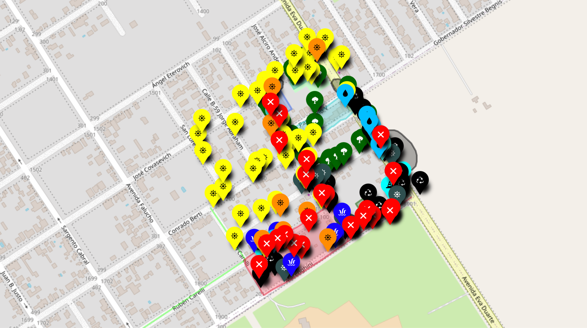
Screenshot of the uMap map compiling the data collected in the field
More photos from this event can be found here: https://www.flickr.com/photos/gedankenstuecke/sets/72177720333964424
4. Collaboration with the National University of Córdoba on a flood risk survey in the Alberdi neighborhood (Córdoba)
On June 2, 2026, I participated as a collaborator in the project “Health Conditions and the Environment in Neighborhoods Adjacent to the Suquía River (Córdoba, Argentina), in the Current Context of Climate Change and Water Pollution.” I worked in collaboration with the National University of Córdoba (UNC), involving the following schools and organizations:
- School of Medical Sciences (FCM): Department of Semiology.
- School of Exact, Physical, and Natural Sciences (FCEFyN): Civil Engineering, Environmental Engineering, Biomedical Engineering.
- Faculty of Social Sciences (FCS): Social Sciences and Social Work.
- CONICET: IDIT.
- Neighborhood Centers: From the Villa Páez, Alberdi, and Marechal neighborhoods.
- Pueblo Alberdi Network Community.
The activity was organized as part of the PREVENIR Project (https://sites.google.com/view/prevenir-es/home), and an urban flood simulation exercise was proposed for this year. The project consists of several stages; in my case, I participated in the first phase:
PHASE 1 – BEFORE: A period of training for the community and risk management agencies on flood prevention and preparedness.
As part of this effort, I previously (May 26, 2026) conducted an introduction to OpenStreetMap with medical students and volunteers. This was followed by a field mapping exercise, surveying points of interest using ChatMap (HOT). There, we helped the students identify features that increased flood risk. This work was complemented by field surveys using StreetComplete and the subsequent digitization of the ChatMap points into OSM. A total of 156 people participated in the survey across two shifts, morning and afternoon.
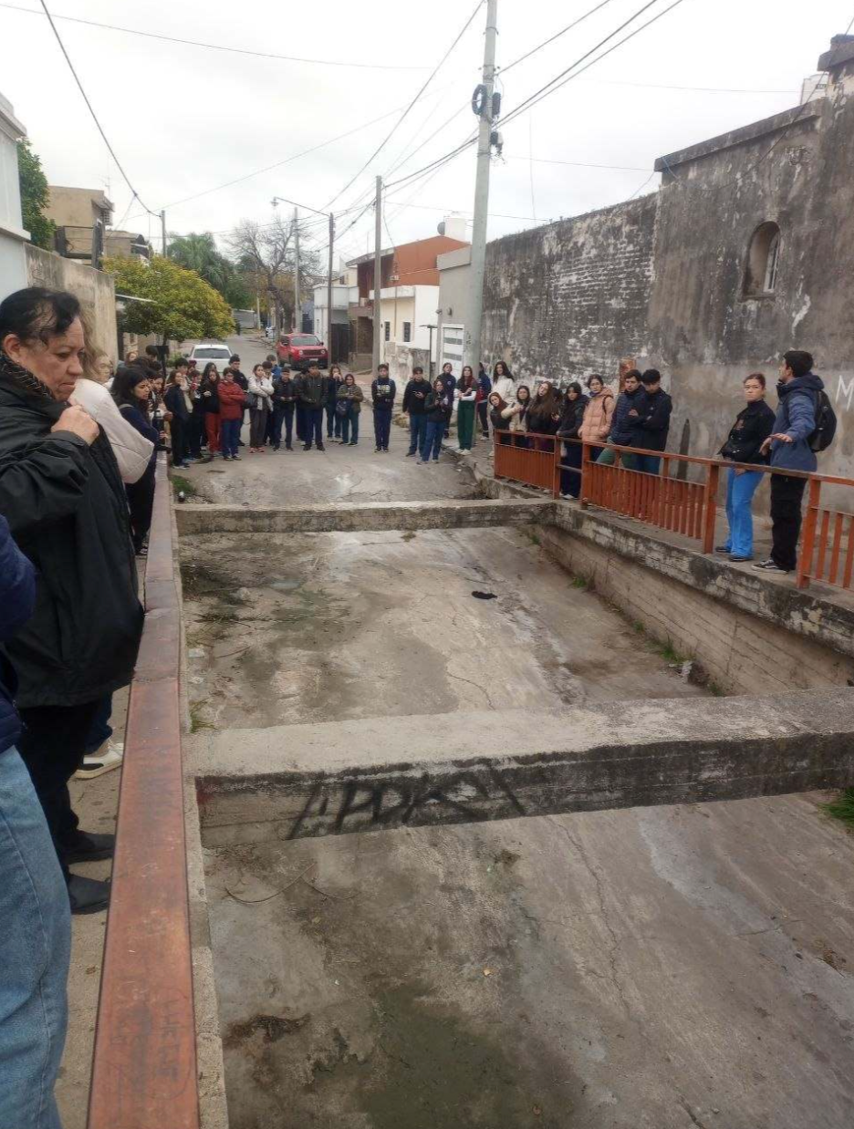
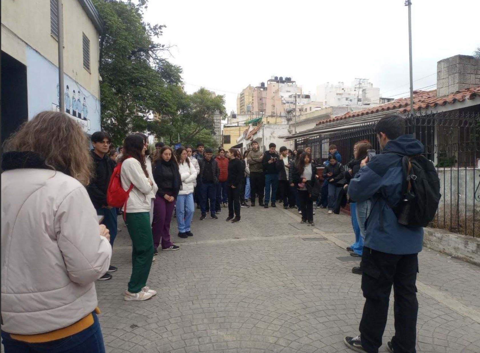
Photos taken during the event on 02/06/202
The collected data was organized in uMap (HOT) and is available at this link: https://umap.hotosm.org/en/map/zonas-inudables-barrio-alberdi-cordoba_3078
Conclusion
This experience reaffirmed the importance of open mapping as a tool that goes beyond data production. In the face of challenges such as flooding, having accessible and up-to-date geographic information is essential for strengthening preparedness and prevention, but also in situations where organizations need to promote more participatory ways of understanding and acting upon the territory. The work carried out also demonstrated the enormous potential of collaboration among students, teachers, organizations, and communities to build useful knowledge from diverse perspectives.
At the same time, it became clear that expanding the OpenStreetMap ecosystem requires continuing to train and support new participants. Learning to edit, interpret images, and develop a cartographic perspective on the environment is not always easy, but every new mapper helps enrich a community based on open knowledge and collaboration. This growing interest in open data, the emergence of UN Mappers as a relevant and recognized organization in the region, and the collective effort are, perhaps, among the most valuable outcomes of this experience.
A final consideration concerns the importance of field mapping activities as one of the main strengths of the projects carried out. These experiences made it possible to incorporate local knowledge contributed by actors with strong territorial ties, even when they did not have specific cartographic training. It is essential to continue strengthening UN Mappers’ collaboration with these groups, as the knowledge developed through everyday experience of the territory is irreplaceable.
In this regard, it is particularly valuable to promote working models that bring together complementary profiles: on the one hand, a smaller group of people with the technical skills required to carry out complex OpenStreetMap edits; on the other, local mappers with extensive knowledge of their communities and the ability to mobilize in emergency situations or in support of initiatives led by United Nations agencies. The combination of these perspectives represents a strategic asset for improving the quality, relevance, and usefulness of the data produced.
Acknowledgments
Special thanks to the team of collaborators and organizers who were crucial to the success of the mapping activities, especially to: Emilio Mariscal y Fabrizio Scrollini (HOTOSM), Hernán Gigena y Florencia Otarola (Cooperativa Lawal), Bastian Greshake Tzovaras y Eugenia Covernton (Choique), Rut Covernton (Maná), Carolina Marioni (Cáritas Venado Tuerto), Daniel Pérez (ICES), Alejandra Filipetti (Municipality of Venado Tuerto), Andrea Sopranzi (Municipality of Venado Tuerto), Dayana Vázquez (Las Manos de mi Barrilito Dining Hall), Belén Arancibia (Expedición Sonrisa Foundation), Marcelo García (UNC), Andrés Portigliatti (CONICET-UNC).